Two Airlink Embraers buzzed Cape Town stadium just above the roof
A formation of an E190 and an E195 from South African carrier Airlink flew just metres above the roof of DHL Stadium on Saturday, ahead of kick-off in the Springboks–All Blacks match. Both the airline and the SACAA authority defend the flypast as approved and rehearsed — and our network captured what the whole choreography over Table Bay looked like.
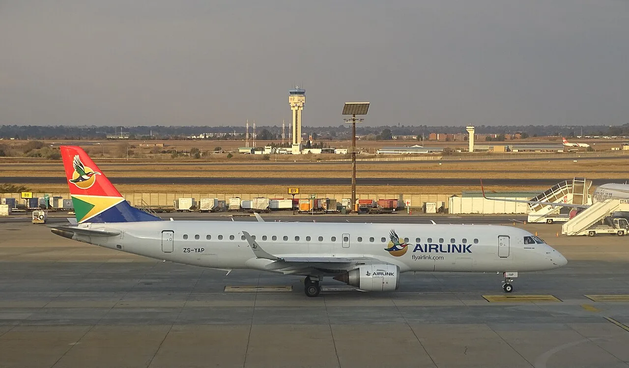

Shortly before kick-off in Saturday's Springboks vs All Blacks match, a formation of two aircraft from South African carrier Airlink flew over Cape Town's DHL Stadium — an Embraer E190 registered ZS-YAE and an E195 registered ZS-YDE. Footage showing both aircraft passing just metres from the stadium roof spread across social media within hours, sparking debate over whether the flypast was safe.
- Aircraft
- Embraer E190 + E195 ZS-YAE and ZS-YDE, Airlink
- When
- Saturday 29 Aug 2026, ~17:10 local time (15:10 UTC), before kick-off
- Height above roof
- 12–14 m according to Flightradar24 data; video estimates suggest as low as ~8 m
- Speed during flypast
- ~150 kt (278 km/h) according to Airlink's statement
- Approval
- SACAA + ATNS civil aviation authority and air traffic control of South Africa
Airlink responded to the criticism with a statement: it said the flypast had been planned and rehearsed in advance, was carried out under the oversight of the South African Civil Aviation Authority (SACAA) and Air Traffic and Navigation Services (ATNS), and the recorded flight data from both aircraft confirms that they flew within pre-approved altitude and speed limits. According to the airline, each aircraft carried three experienced captains — acting as commander, first officer and safety officer. Whether the altitude matched the approval is a claim made by the airline and the authority; public data cannot verify it to the metre.
Our network captured the entire choreography over Table Bay. From 16:33 to 16:57 local time (14:33–14:57 UTC), we tracked ZS-YDE holding near Robben Island at a barometric altitude of around 1,300 ft (400 m) and speeds of 105–152 kt. At 17:10:15 local — exactly at kick-off — it was descending through 325 ft (99 m) about 7 km northeast of the stadium. Our receivers did not see the actual rooftop-level flypast itself: ADS-B relies on direct radio line of sight, and a few dozen metres above the city, buildings and terrain block the aircraft. At 17:15 we picked up both aircraft again, climbing through 1,900 ft as they headed away from the city.
The flypast through our network's eyes (local time, 29 Aug 2026)
- ZS-YDE holding near Robben Island 1,325 ft, 105–152 kt
- Approach to the stadium in descent 325 ft, ~7 km northeast of DHL Stadium
- Flypast over the roof — below radio line-of-sight range altitude not measurable from our data; Flightradar24 reports 12–14 m above the roof
- Departure in climb both aircraft climbing through 1,900 ft
ZS-YDE's (E195) journey that day
from our tracking data, 29 Aug 2026
| Morning: arrival from Johannesburg (FAOR → FACT) | LNK921L | takeoff 07:37 local |
|---|---|---|
| Afternoon: holding and flypast | 325 ft | lowest point tracked by our network |
Barometric altitude; the exact height above the roof cannot be measured from our data.
ZS-YAE's (E190) journey that day
from our tracking data, 29 Aug 2026
| Morning: flight from Johannesburg to Cape Town | LNK3980 | takeoff 11:36 local |
|---|---|---|
| After the flypast: departure in climb | 1,950 ft | 17:15 local, 164 kt |
Landing in Cape Town falls below our network's coverage range in the region.
Cape Town (CPT), where the formation departed from
An approved ceremonial flypast is a different discipline from regular operations: the minimum altitudes that apply to everyday flying over cities can be adjusted by the authority for a one-off event via exemption — and that is exactly the kind of approval Airlink is relying on. The online debate is thus mainly about how much clearance was actually left above the roof; figures vary depending on who is measuring and how. What we can document is what our network actually picked up — the times, altitudes and speeds above — and be upfront about where our coverage ends.